

A country cycle from Kenilworth Castle
By Richard Smith 25th May 2026
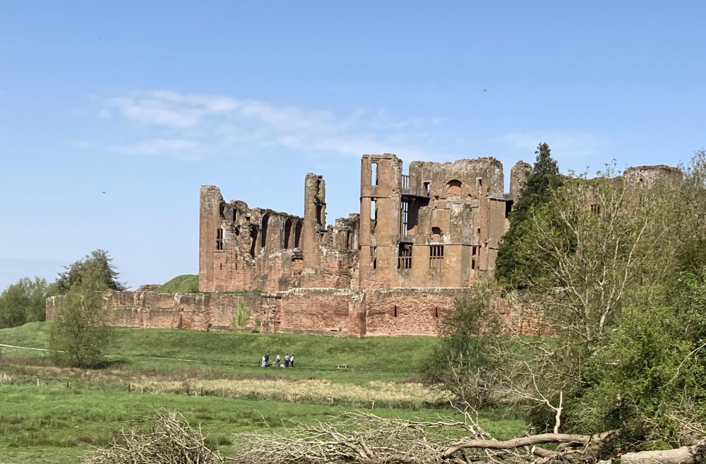


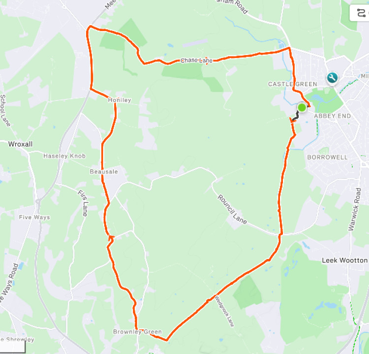
Richard Smith describes a recent 12 mile circular ride from Kenilworth Castle on bridleways and (mostly) rural roads.
With the castle entrance on my right, I continued past the end of the castle car park and followed the tarmac road around to the left.
From there, through a gate on the right, a bridleway led across fields to pass close by Oaks Farm. There are plenty of footpaths hereabouts so it was important to take note of the signage to ensure I stuck to the right route.
Judging by the tufts of wool, a long field here is clearly regularly occupied by sheep, but none were to be seen as I pedaled through.
At the far side of the field the route became a firm gravel track leading all the way to Rouncil Lane.
Turning right then immediately left I continued past Goodrest Cottages, now on a concrete road.
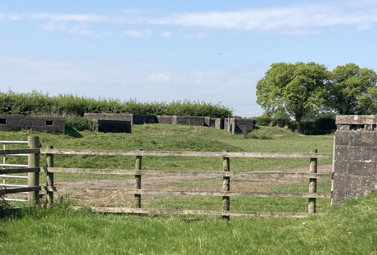
Some low concrete buildings clearly visible in a field on the right are the remains of an anti-aircraft battery established in 1941. Note that this is private property with no public access.
Download our Nub News App!
- It’s FREE and available now- Breaking news notifications
- Your Town in Your Pocket


The road leads to Goodrest Farm, but the clearly marked bridlepath goes off to the right and then turns left to continue past some barns and alongside more fields, the surface reverting to hard-packed gravel.
Before long I reached a minor road.
A left turn here would have taken me past the Wedgnock Activity Centre towards Warwick, a right towards Bullock Farm.
Instead, I elected to continue straight across, keeping to the bridleway.
Earlier wet weather and the passage of horses meant this unsurfaced section was initially quite bumpy, but things improved as an extensive view over fields opened out to the south west.
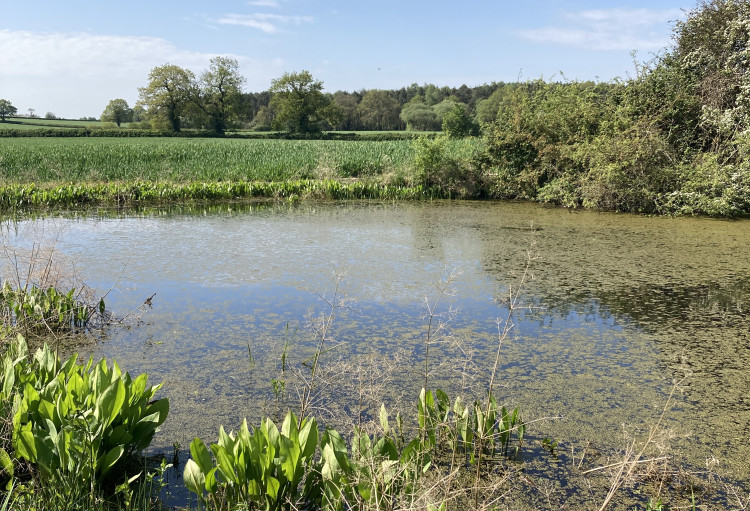
With the Hatton Park housing estate clearly visible ahead, I turned right and passed a pond to reach Turkey Farm.
The farm drive then took me to Beausale Lane, where I again turned right.

The lane climbs gently uphill, and becomes Red House Farm Lane. Following a left fork into Honiley Rd I soon found myself passing through the village of Beausale itself.
Shortly afterwards I turned right into Church Road.
About half a mile ahead, on the outside of a lefthand bend, is the entrance to Honiley Hall (a private residence), and just beyond that I turned right to reach the small church of St John the Baptist.
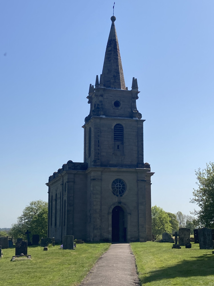
This delightful church was built in 1723 at the expense of John Sanders Esq of Honiley Hall.
He died in 1727 and left money in his will to pay for the installation of a ring of bells, this being completed in 1731. A sixth bell was added in 1978.
Rejoining the lane I continued on to reach the busy A4177.
Turning right to join it, I rode on for another 0.7 miles before taking the bridleway on the right through Poors Wood.

The entrance to this is immediately prior to the first dwelling on the right after the turning to Fen End.
With bluebells to be seen on either side, the route through the wood was a delight.
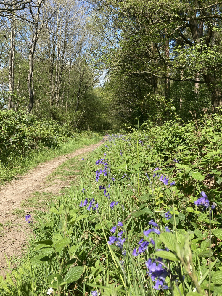
Emerging from the trees, the bridleway turns to the right to follow the edge of a field downhill before reaching a farm track onto which it turns left.
Passing to the right of the prominent barn at Warriors Lodge Farm, the route emerges into Chase Lane.
I followed this to just before the junction with the main road (B4103), opting to turn right into the service road towards Priors Field Primary School.
A right turn from here and it was a simple matter to follow the road round past Castle Green, cross the ford (mercifully dry), and return to my starting point at the Castle entrance.
If Strava is to be believed, the route described involved 348' of climbing and took me just over an hour (actual moving time).

Download our Nub News App:
- It’s FREE and available now
- Breaking news notifications
- Your Town in Your Pocket


Share: